- HOME
- About
- Organisation
- Projects
- Ongoing
- Completed
- Upcoming
- Kochi Economic City
- EXHIBITION CUM CONVENTION CENTRE AT MANAPATTIPARAMBU
- GODOWN CUM OFFICE COMPLEX AT KALOOR (SHOPPING CUM OFFICE COMPLEX)
- STUDY TO REDUCE TRAFFIC CONJUCTION AT ALUVA
- MULTILEVEL CAR PARKING AT JAWAHARLAL NEHRU INTERNATIONAL STADIUM
- AMBEDKAR STADIUM SPORTS CITY
- ROPEWAY/ CABLE CAR AT COCHIN MARINE DRIVE SCHEME
- IMPLEMENTATION OF PRADHAN MANTHRI AAVAS YOGANA (PMAY )
- she hostel
- AFFORDABLE HOUSING SCHEME
- TENDERS
- Resources
- Gallery
- RTI
- News
- DCB
- CONTACT
About
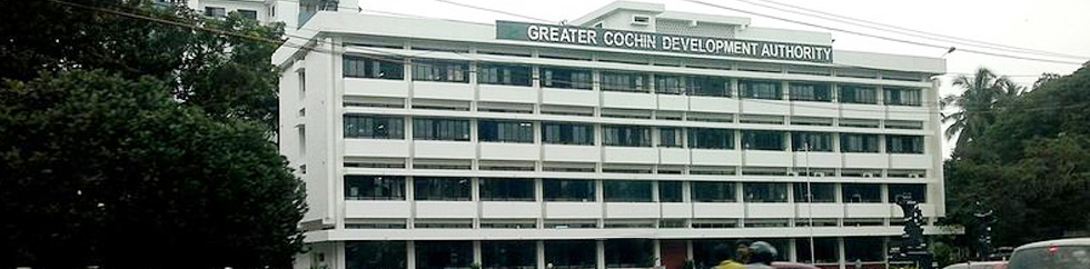
The Greater Cochin Development Authority has come into existence on 24-01-1976 under the Madras Town Planning Act of 1920 and Travancore Town Planning Act IV of 1108 readwith G.O. (MS) No.19176/LA & SWD dated 23-01-1976.
As a first step towards the formalised development planning of the Cochin region, an advisory committee was set up in 1965. In the same year itself a Joint Town Planning Committee was constituted for the Greater Cochin region and this committee has been elevated in to a trust viz. Cochin Town Planning Trust under the Chairmanship of the District Collector. In the course of time the authorities wereconvinced of the fact that a larger set up is required to control the growth of the Cochin City and its environs in a planned manner which resulted in the formation of GCDAas noted as first.
The jurisdiction of GCDA covers an area of 732 km2 consisting of KochiCorporation, 9Municipalities and 21 Panchayaths. Subsequently Goshree Islands DevelopmentAuthority(GIDA) was constituted vide G.O.(MS) No.114/94/LAD dated 18-05-1994 comprising 8 Island Panchayaths and two wards of Cochin Corporation viz. Thanthonnithuruthu and Fort Vyppin having an area of 100 km2 and thus delimiting the jurisdictional area of GCDAto 632 km2.
Corporation: Kochi except Fort Vypeen, Gundu Island and Thanthonnithuruthu
Municipalities: Aluva, North Parur, Angamali, Perumbavoor, Tripunithura Kalamassery, Maradu, Thrikkakara and Eloor.
Panchayaths: Chellanam, Kumbalanghi, Mulanthuruthi, Cheranelloor, Kumbalam,Udayamperoor, Vadavucode-Puthencruz, Vazhakulam, Choornikara, Edathala,Keezhmadu,Chengamanad, Sreemoolanagaram, Alangad, Kadungalloor. Ezhikkara,Kottuvally,Nedumbassery, Kanjoor, Varapuzha and Chottanikkara.
Achievements
- 0484-2204261, 2206122
Call us on
Copyright @ 2025 Greater Cochin Development Authority All Right Reserved.
ONEINFO SYSTEMS